Orbital View
Show Newer Notes
Well, “flowering” is just how it struck me at first glance; it’s formally known as a star fort:
Palmanova was built following the ideals of a utopia. It is a concentric city with the form of a star, with three nine-sided ring roads intersecting in the main military radiating streets. It was built at the end of the 16th century by the Venetian Republic which was, at the time, a major center of trade. It is actually considered to be a fort, or citadel, because the military architect Giulio Savorgnan designed it to be a Venetian military station on the eastern frontier as protection from the Ottoman Empire.
Daily Overview adds, “The rationale for this construction was that an attack on any individual wall could be defended from the two adjacent star points by shooting the enemy from behind.” One of their commenters notes:
Additionally the angular shape of the walls relative to a surrounding force meant that incoming fire from siege artillery hit the wall at an angle or had to be shot further from an oblique angle, making it less effective.
(See all Orbital Views here)
Daily Overview’s caption:
The planned city of La Plata—the capital city of the Province of Buenos Aires—is characterized by its strict grid pattern. At the 1889 World’s Fair in Paris, the new city was awarded two gold medals for the “City of the Future” and “Better performance built.”
A little more about the layout:
Designed according to City Beautiful and rationalist precepts, the urban grid is intersected by two main diagonal avenues that merge at the town square where the Municipal Building and Cathedral are located. The abundance of open space is evident on the wide tree-lined sidewalks, compact blocks with green cores, and the smaller plazas located every six blocks. La Plata’s architecture is representative of the city’s immigrant history and diversity, with styles mingling German baroque, French art nouveau, Italian Renaissance, and Spanish colonial.
(See all the Orbital Views here)
Turns out China was burning a lot more of it than everyone else thought.
The country has been burning up to 17 percent more coal a year than the government had previously disclosed, according to new data reported in The New York Times this week. China is already the world’s leading producer of greenhouse gases from coal, but this increase alone “is greater than the whole German economy emits annually from fossil fuels,” the Times explained. And it complicates that whole global warming thing.
Here, the Port of Qinhuangdao, China’s largest coal shipping facility:
From the caption for this mesmerizing 3D model:
Driven by wind and other forces, currents on the ocean surface cover our planet. Seen from space, the circulating waters offer a study in both chaos and order. Watch powerful, fast-moving currents like the Gulf Stream in the Atlantic Ocean and the Kuroshio in the Pacific Ocean carry warm waters northeastward at speeds greater than 4 mph. View coastal currents such as the Agulhas in the Southern Hemisphere transporting equatorial waters from the Indian Ocean farther southwards.
I spotted a haunting GIF in Rob’s newest installment of his weekly newsletter on climate change (which you can subscribe to here):
+ The fires in Borneo and Sumatra continue, emitting more carbon than the U.S. every single day. “Indonesia is burning. So why is the world looking away?” The Wall Street Journal reports on how the fires are choking the palm oil, rubber and paper industries.
+ Mount Rinjani, on the Indonesian island Lombok well south of the fires, began erupting Tuesday. Ash and smoke from the volcano has covered hundreds of miles, and it’s delaying flights on the nearby island and tourist destination Bali.
+ The eruption as captured by Himawari-8, Japan’s weather satellite. Notice also the convection off the rainforest, the flash of the ocean (it looks like thunder) at midday:

Thankfully the volcano doesn’t appear to pose a threat:
[A]ccording to a vulcanologist for the MInistry of Energy and Mineral Resources, Surono, the eruption is of a minor nature. “The volcano is spewing up material upwards, towards a height of 1,000-1,500 metres above Barujari crater. This is a mere ‘roar’ and has yet to count as a major eruption,” said Surono toTempo on Wednesday, November 4, 2015.
According to Surono, Mount Rinjani has yet to become a danger for local residents despite its' repetitive eruptions. "We have no data that points out how often will it erupt, but basically it poses no danger for local residents," he said.
Indonesia has the highest number of volcanoes in the world - with 127 volcanoes reported to be active across the archipelago.
The captions for NASA Goddard’s Instagram account are nearly as interesting as the views:
That caption pretty much says it all, but here are some great aerial views of a cloudless Mawson Peak shortly after a lava flow. Heard Island is considered part of a “world heritage place”—by the Australian government itself, but still:
The Australian Territory of Heard Island and McDonald Islands (HIMI) is one of the wildest places on earth—a smoking volcano under snow and glacial ice that rises above the world’s stormiest waters. HIMI is the only sub-Antarctic island group that has an intact ecosystem, to which no known species has been introduced directly by humans, and where the ongoing evolution of plants and animals occurs in a natural state.
From the caption for this stark view of Nishinoshima, an emerging volcanic island 940 kilometers off the coast of Tokyo:
Starting in November 2013, the volcano began to erupt and continued to do so until August 2015. This Overview was captured on 7/1/2015. Over the course of this activity, the island grew in size from .056 square kilometers to 2.3 square kilometers.
Alan posted photos of Nishinoshima back in December 2013, shortly after it started erupting for the first time in four decades. Here’s some good footage of the volcano in action. And the latest piece on Nishinoshima from The Japan Times has this priceless lede:
A brand new island emerging off the coast of Japan offers scientists a rare opportunity to study how life begins to colonize barren land — helped by rotting bird droppings and the vomit of hatchlings.
Niger is one of the world’s top producers of uranium. Here’s one of the country’s open-pit mines:
This may be a stretch, but it kind of looks to me like a microchip, only orange.
If the thought of living inside a fast-moving metal tube that protects you from guaranteed death isn’t scary enough, there is this:
#HappyHalloween from @space_station! Have a great weekend, and be safe down there. #YearInSpace https://t.co/aRGMsRAF1D
— Scott Kelly (@StationCDRKelly) October 30, 2015Scott Kelly is celebrating Halloween in classic Kelly fashion: By finding hints of the holiday in Earth’s terrain.
I can't wait to see what he does for Thanksgiving.
Nadine posted a hypnotic video over the summer that’s well-suited for our daily feature:
Conner Griffith describes his short film, Ripple, as “an advertisement for planet Earth.” It’s a flurry of frame-by-frame images, mostly from Google Earth and Wikipedia, that depict the many developed and undeveloped surfaces on the planet. … To see more of Griffith’s work, visit his Vimeo page.
More Notes From The Atlantic
- Notes Home
Most Popular On The Atlantic
-
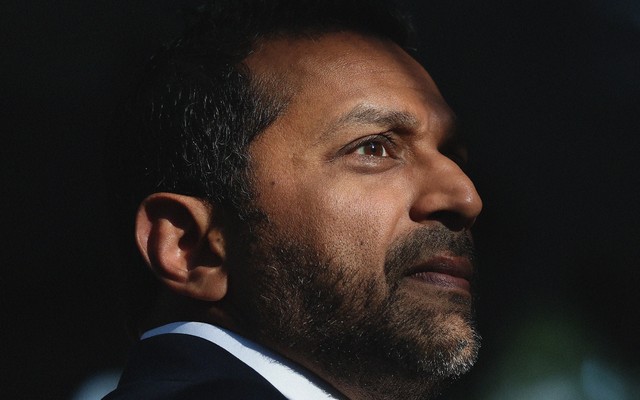
![A portrait of Kash Patel, in profile]()
Michael M. Santiago / Getty The FBI Director Is MIA
Continue ReadingKash Patel has alarmed colleagues with episodes of excessive drinking and unexplained absences.
On Friday, April 10, as FBI Director Kash Patel was preparing to leave work for the weekend, he struggled to log into an internal computer system. He quickly became convinced that he had been locked out, and he panicked, frantically calling aides and allies to announce that he had been fired by the White House, according to nine people familiar with his outreach. Two of these people described his behavior as a “freak-out.”
Patel oversees an agency that employs roughly 38,000 people, including many who are trained to investigate and verify information that can be presented under oath in a court of law. News of his emotional outburst ricocheted through the bureau, prompting chatter among officials and, in some corners of the building, expressions of relief. The White House fielded calls from the bureau and from members of Congress asking who was now in charge of the FBI.
-
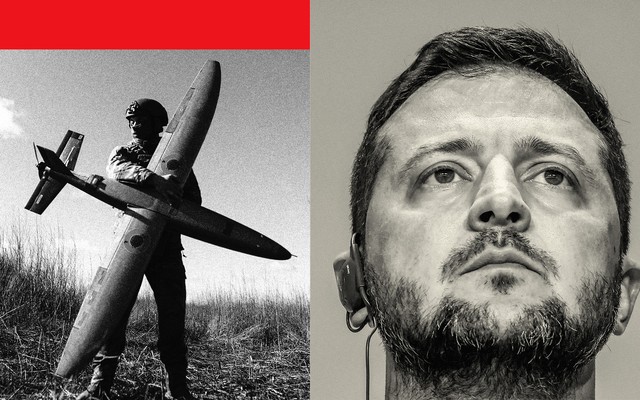
![A collage of Zelensky and a Ukranian military soldier holding a Ukranian made drone]()
Illustration by The Atlantic. Sources: Nikoletta Stoyanova / Getty; Beata Zawrzel / Getty. Ukraine Has Finally Given Up on Trump
Continue ReadingZelensky has written off the United States.
For more than a year after Donald Trump returned to the White House, Ukraine held out hope—at least publicly—of winning him over. Trump, who revealed his affection for Russia’s Vladimir Putin again and again, largely halted American military aid to Kyiv. He insulted Ukrainian leaders regularly, personally berating President Volodymyr Zelensky in the Oval Office in February 2025. Nevertheless, Ukraine diligently took part in Trump’s peace negotiations, which were tilted to reward Putin’s invasion and turned out to be fruitless. Zelensky agreed to mineral deals that supposedly promised to enrich Americans. He even lavishly praised Trump himself. Despite Ukrainian leaders’ growing doubts, they calculated that speaking sweetly of the American president would do no harm and just might gain his favor.
-
![A blurred color photo of the Grand Foyer of the Kennedy Center, showing a bronze bust of John F. Kennedy in focus.]()
Jabin Botsford / The Washington Post / Getty What I Saw Inside the Kennedy Center
Continue ReadingI spent 10 months working at the institution because I thought I could help protect it. What I observed there is far worse than the public knows.
On the day I was laid off from the Kennedy Center, I felt a little like Dolley Madison saving the Stuart portrait of Washington before the British sacked the capital. I was the staffer in charge of the artworks in the building. A crucial difference is that my institution, unlike the White House in 1814, had been on fire for months.
About a year elapsed between the moment President Trump took over the Kennedy Center in early 2025 and his declaration this past February that he’d decided to shut down the nation’s cultural center for two years. In between, we had seen artist cancellations, shrinking audiences, firings of old staffers and influxes of new ones—a lot of drama, just not onstage. The date Trump announced for the closure was July 4, the country’s 250th birthday, an event that I had been hired to help commemorate as the institution’s first curator of visual arts and special programming.
-
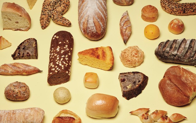
![photo of many different types of breads on yellow background]()
Hugo Yu for The Atlantic I Found It: The Best Free Restaurant Bread in America
Continue ReadingThirteen thousand miles. Infinite contenders. One beautiful loaf.
This article was featured in the One Story to Read Today newsletter. Sign up for it here.
Here is the promise you and I must cling to across the thousands of words that follow: At some point within this text, I will reveal to you what—after 555 responses, 13,000 miles of travel, and months of monomaniacal research—I have determined to be the best free restaurant bread in America. I will not attempt to slither to the moral high ground, arguing that best is a meaningless measure, or insisting that all bread is dear in its own way. Even if you attempt to betray me—for instance, by merely scanning the text that follows for the phrase Here it is: the best free restaurant bread in America—I will uphold my end of the bargain.
-
![Black-and-white photo of four Nazi soldiers walking through a city street with rifles strapped to their backs as a policeman watches]()
Everett Collection The Film That Explains Contemporary America
Continue ReadingThe Sorrow and the Pity has lessons for how authoritarianism takes root—and how to fight against it.
The best thing I watched in the past year was an epically long movie about retired militants, but it wasn’t One Battle After Another, the Oscar winner for Best Picture. It was The Sorrow and the Pity, a four-hour documentary from 1969 about life in Nazi-occupied France. Reviewing the film in The Atlantic in 1972, David Denby called it “one of the greatest documentaries ever made,” and that remains true. What makes the film so effective is not how it looks at the Germans, a spectral presence, but how it chronicles the way that many ordinary citizens simply lived their lives as if nothing had changed.
The director Marcel Ophuls, who died last year at 97, explores collaboration and resistance through the lens of a small city, Clermont-Ferrand. It’s about an hour from Vichy, where the Nazis established a puppet government headed by the World War I hero Philippe Pétain. Pétain’s former protégé Charles de Gaulle fled to Britain, coordinated resistance to the Nazis, and returned to lead a free France. The idea that the French almost uniformly opposed Nazism, with only a few bad apples collaborating, is foundational to France’s postwar identity. The problem, as Ophuls, a Franco-German Jew, demonstrates, is that this is a myth.
-
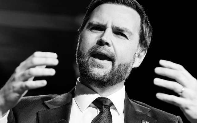
![J. D. Vance]()
Chip Somodevilla / Getty Pope James David Vance the First
Continue ReadingThe vice president has decided he’s a more accomplished theologian than Leo XIV.
The Trump administration doesn’t seem to have many rules, but one of them is that once the president picks a fight, his posse must show up to support him, no matter how ill-advised the conflict. And few senior officials are more eager to back up the boss in every embarrassing beef than Vice President Vance, who recently seems to have decided that he, and not Pope Leo XIV, is the true arbiter of Catholic doctrine.
President Trump is personally angry with Leo because the pontiff has been deeply critical of America’s war of choice in Iran. Accordingly, Trump lashed out at His Holiness twice over the past few days. Vance might have seen this as a valuable opportunity to say nothing and let the storm pass; Leo, naturally, doesn’t seem to care all that much what Trump thinks. (As my colleague Liz Bruenig wrote, Leo answers to a higher authority.) Had the vice president remained silent, Trump might have moved on, and Vance, a relatively recent convert to Catholicism, would have been able to stay out of a dustup between his president and his spiritual leader.
-
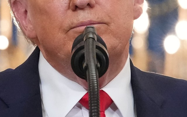
![A close-up of Trump's face in front of a microphone, from the nose down]()
Alex Brandon / Getty One of These Trump Threats Is Not Like the Others
Continue ReadingTrump has developed a reputation for backing down from his most over-the-top threats, but dismissing his words is a mistake.
Twelve hours after Donald Trump warned that a “whole civilization will die tonight, never to be brought back again”—after he’d previously threatened to bomb Iran “back to the Stone Ages”—the president agreed to a temporary cease-fire. Since then, initial peace negotiations failed and Trump responded with a naval blockade of the Strait of Hormuz; a new round of talks may begin soon.
But what to do with his everyone in Iran is going to die comments last week? Because they were designed to pressure Iran to come to the table, and because the promised carnage did not materialize, many observers simply moved on, explaining away Trump’s threats as a ham-fisted negotiation tactic, some kind of 5-D chess, or another example of the president’s propensity to “TACO” (Trump Always Chickens Out).
-
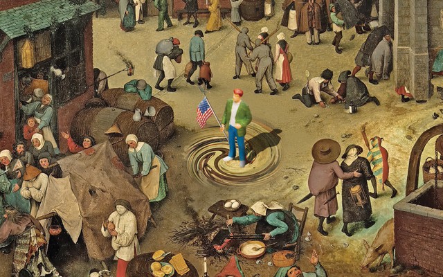
![illustration based on painting of busy medieval village with person in modern dress in center of swirl in the middle, carrying a U.S. flag]()
Illustration by Nicolás Ortega. Sources: Ali Meyer / Corbis / VCG / Getty; Tara Moore / Getty. History Is Running Backwards
Continue ReadingWhy reactionaries are taking over the world
This article was featured in the One Story to Read Today newsletter. Sign up for it here.
Maybe you’ve seen photos of Tehran in the 1970s, just before the Islamic Revolution: images of young women going to work in miniskirts, of couples making out in parks while wearing bell-bottoms, of people at pools in bikinis. It looks like Paris or Milan or Los Angeles. But in 1979 the revolution happened, and now Tehran looks like something from an earlier century.
Sometimes I think that our whole world has become kind of like that—going backwards in time. The religious movements thriving in today’s secularized age are the traditionalist ones that dissent from large parts of contemporary culture—not only the Shiite Islam of post-revolution Iran, but Orthodox Judaism and conservative Catholicism. Young Americans are flooding into Eastern Orthodox churches.
-
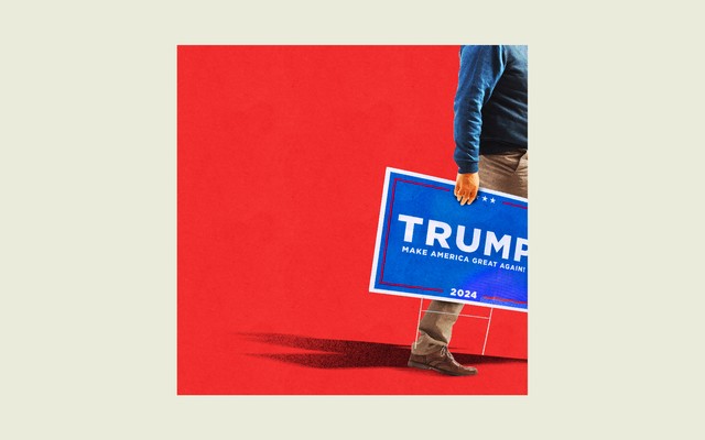
![Illustration of man holding Trump Make America Great Again sign exiting a red square surrounded by a beige background]()
Illustration by Alisa Gao / The Atlantic. Source: Scott Olson / Getty. Trump Voters Are Over It
Continue ReadingA shocking number of the president’s supporters have turned against him.
Tomas Montoya has sold festival foods—funnel cakes, burgers, hot dogs—across the American Southwest for years. But lately, business has been rough. Costs are up, so he’s increased his prices. Employees are begging for hours he can’t give them. In Arizona, where he lives, Montoya pays $6 a gallon to fill up his food trucks with diesel. This summer, he may have to skip the California leg of his festival route because fuel is even more expensive there.
“It’s Trump,” Montoya told us outside a popular Hispanic grocery store in Casa Grande, Arizona, much of which sits in one of the most evenly divided House districts in the country. Montoya voted for President Trump in 2024, but now, well, frustrated doesn’t begin to cover how he’s feeling. The president is bragging about the economy, even though everyone Montoya knows is hurting; he promised to stop wars, but started one in Iran. “When Trump opens his mouth, three-quarters of what he says is stories, lies,” Montoya said. He’s planning to vote in the midterm elections this fall. But he may not choose a Republican.
-
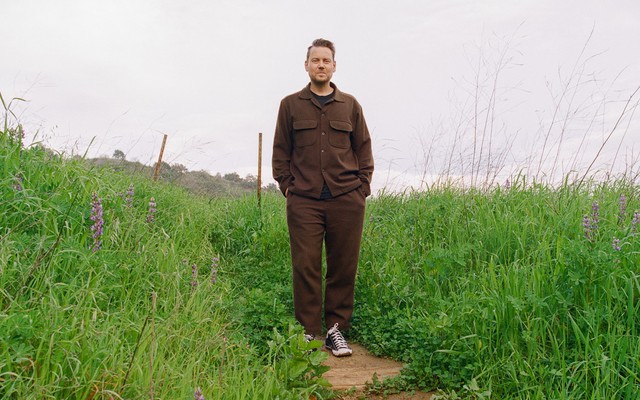
![Color photo of man in brown shirt and pants standing with hands in pockets on trail surrounded by green grass and wildflowers.]()
Thalía Gochez for The Atlantic Is Hurry the Great Enemy of Spiritual Life?
Continue ReadingPastor John Mark Comer has won a massive audience by encouraging his followers to free themselves from the gnawing sense that there is always more to do.
John Mark Comer can be a hard man to find. He’s one of the most famous pastors in America right now, an author whose books have together sold more than 1 million copies, but he’s not the most reachable guy. He has a professional website but no contact page. He rarely travels. And as I reported this story, I began to learn his habits: Sending him a text early in the day was a wash, for instance, because he doesn’t check his phone until after morning prayer time. Once, when I reached out by email, I got an out-of-office response that he had set before Christmas explaining that he was observing “rhythms of rest” and asking that I try him again after his return in mid-January. Incoming messages sent in the meantime would be deleted.